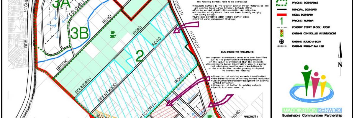
The City engaged a consultant botanist (Arthur Weston) to undertake a survey to define the extent of the existing wetlands and the significance and condition of vegetation within the MKSEA.
After having been reviewed by the City and the Department of Environment and Conservation (DEC), the findings have now been made available to the public.
More information
- Part 1
- Part 2
- Part 3
- Fig 1 Location
- Fig 2 Cadastral
- Fig 3 Concept Plan
- Fig 4 Natural Areas and Regional Linkages
- Fig 5 Major Geomorphic Units
- Fig 6 Soils Topography and Groundwater
- Fig 7 Plan Habitat Zones
- Fig 8 Vegetation Complexes
- Fig 9 Wetland Classifications
- Fig 10 Wetland Management Categories
- Fig 11 Wetlands as Recommended by Survey
- Fig 12 Wetlands and Ecological Linkages
