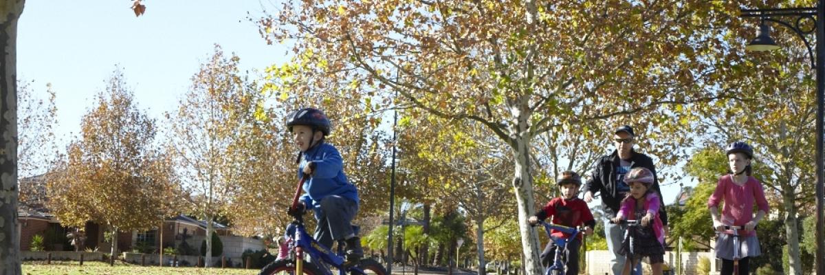
Join a cycling or walking group, or use our maps to explore the City.
Armadale Line shutdown
With the Armadale and Thornlie train line closing for 18 months, now is the perfect time to consider active transport to get you to your destination.
The City of Gosnells has collaborated with the Department of Transport, METRONET and the Public Transport Authority to create a new large scale active travel map to help people plan safe and convenient routes to local destinations such as shops, schools, parks and community services.
The maps identify walking and bike friendly routes, quiet streets, on-road bicycle lanes and shared paths. They also provide information about how to move around the train line whilst works continue.
Download PDF versions of the maps below or you can collect a hard copy map from any of the staffed City facilities including the Civic Centre and libraries.
Mobile friendly versions of these maps can be downloaded free to your iOS or Android device via an offline map view here: Western Australia Department of Transport | Mobile friendly Maps.
Download the City of Gosnells and City of Armadale active transport map here
Download the City of Canning and Town of Victoria Park active transport map here
Bicycle Plan 2023-2033
The City of Gosnells has recently endorsed its new Bicycle Plan. This Plan will guide the development of cycle and shared paths over the next 10 years.
The Bike Plan will help to meet the objectives of the Department of Transport's Long Term Cycle Network within the City of Gosnells. It will also see the development of extensions to the high-quality local path network along the Canning and Southern Rivers.
You can read the Bike Plan here.
New cycle paths
We are building three new cycling and walking paths along the Perth to Armadale rail line as part of the State Government's Principle Shared Path. These paths will allow people to ride and walk from Perth to Armadale following the Armadale Train Line. The City has completed the construction of two of the new links along The Crescent in Maddington and Railway Parade in Beckenham, with the Dorothy Street to Tonkin Highway path to be completed in 2024/25.
Protect your bike
We are partnering with Crime Stoppers WA Bikelinc and the WA Police Force to reunite local people with their lost or stolen bikes
Cycling routes
Visit Transport WA to find out about cycling routes and cycling rules. Remember to wear your helmet!
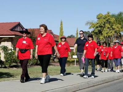
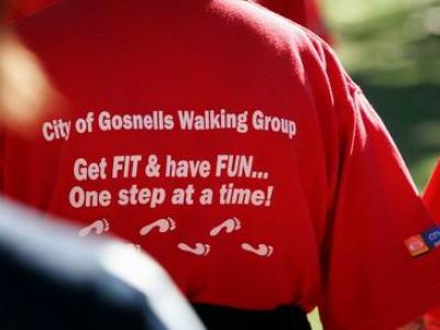
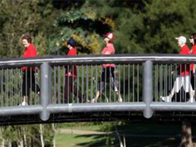
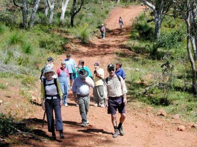
Walking groups
Join a walking group, like the Mills Fit Walking Group, or work with the City to form your own. We can help identify a suitable walking route and promote your new group to other residents.