Gosnells was gazetted as a local government area in 1907 and was formally declared a City in 1977.
Did you know?
The Canning River received its contemporary name in March 1827 when Captain James Stirling aboard the HMS Success named the river after George Canning, the Prime Minister of Great Britain.
Nyungar people called the river "Djarlgarra". It provided a plentiful supply of food such as fish, bids and reptiles for the Beeliar and Beloo people.
Did you know?
John OKey Davis was one of the original settlers in the Canning area and was allocated 7026 acres in 1829. He set sail from London with his wife Francis and seven children and arrived in the Swan River colony aboard the ship Lotus. Their land covered almost all of what we know today as Gosnells, including Huntingdale and Southern River.
Celebrating 60 years - Gosnells starts to take shape
In the years after British settlement, the area stretching between Kelmscott and Bentley became known as ‘The Canning’, after the river running through it. The local government body administering this area was known as the Canning Road Board.
As the population of the district grew due to the 1890s gold rush, it became evident that the Canning Road Board was incapable of administering the large and complex territory for which it was responsible. The Governor split the area once managed by the Canning Road Board into independent units and, in 1907, the Gosnells Road Board was officially gazetted.
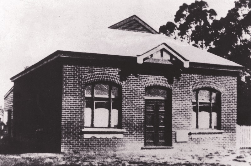
Gosnells Road Board Hall, 1908
The first elections for the new Gosnells Road Board took place on Foundation Day (now known as Western Australia Day) in 1907. This drew a group of men from a wide range of occupations and places of residence within the district.
To maintain a reasonable geographical distribution of members, the district was divided into three wards in January 1908, with each ward having three representatives. In 1923, another ward was added to the district following the abolition of the Jandakot Road District. Since this addition, the boundary lines of the Gosnells local government area have remained largely unchanged.
Gosnells Road Board
The responsibilities of the Gosnells Road Board were straightforward – they began and ended with managing the district’s roads and drains. Following a lack of investment in the area by the Canning Road Board, the major aims of the Gosnells Road Board were to restore Albany Highway, which had become severely degraded, and to construct conveniently located and serviceable minor roads for settlers in the district.
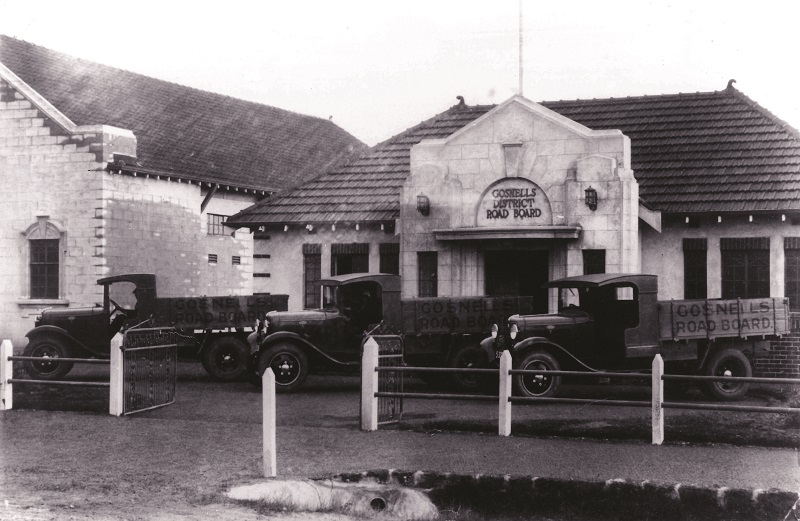
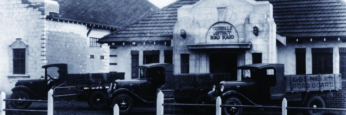
Gosnells Road Board officers on Albany Highway in Maddington, c1936
The original Road Board office was constructed in the suburb of Maddington, midway between the Gosnells and Cannington ends of the district, so all residents had an equal distance to travel to pay their rates. This also ensured machinery --- in a time before motor vehicles --- did not have to be regularly moved from one end of the district to the other. In 1928, the office and all its records were destroyed by fire. New offices were constructed on Albany Highway, near the corner of Olga Road, and the first Council meeting in the new building was held in September 1929.
From Road Board to Shire
The area grew slowly in the first half of the 20th Century. Market gardens, orchards and poultry farms were established, along with residential housing lots. This changed quickly in the decades following World War II, as significant development occurred throughout the Gosnells district. The local population increased from roughly 7,500 in the early 1950s to 40,000 by the mid-1970s. The growth of the district was reflected in the changing status of its local government. In 1960, the title of Road Board was abolished by the 1960 Local Government Act and the Gosnells Road Board became the Shire of Gosnells on Saturday 1 July 1961, when the population of the district was officially recorded at 9,504.
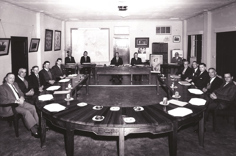
The first meeting of the Shire of Gosnells, 1961
From Shire to Town
Building development and growth of population proceeded rapidly after the local government status of Gosnells changed. As a result, the area did not remain a Shire for long. At 12.01am on Sunday 1 July 1973, in the company of 230 guests assembled in the Civic Centre, Mayor Arthur Mills raised a glass of champagne to toast the newly designated Town of Gosnells.
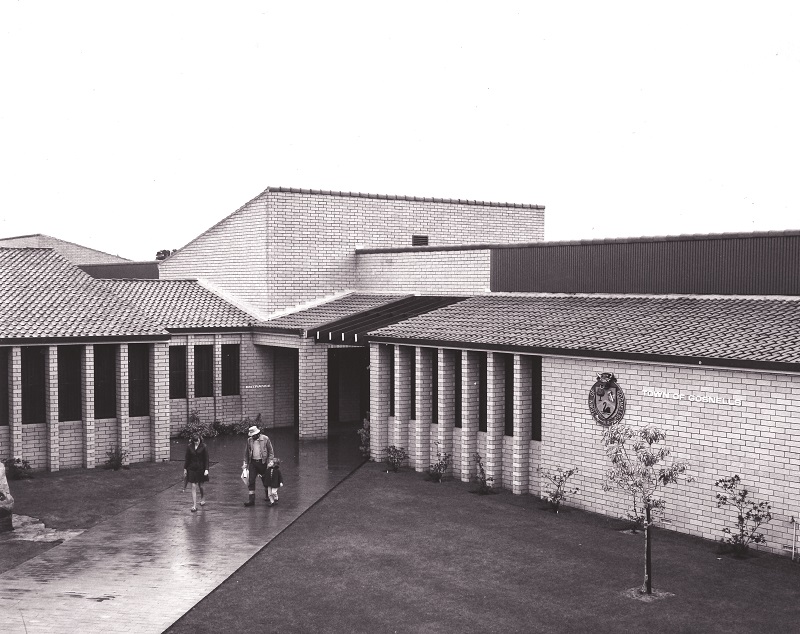
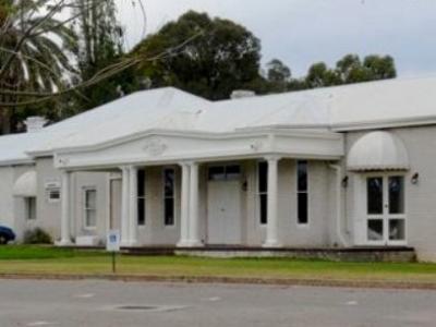
Town of Gosnells Administration Centre, 1974
With these further changes to its local government status, the scale of Town operations became more complex. Staffing numbers increased, along with the need to upgrade administrative facilities. A site was selected on Albany Highway, near the Mills Road intersection. In 1973, the Town’s Administration Centre was opened, overlooking Albany Highway and the Albany Highway Bridge (originally built in the 1860s). Incorporating upgrades in recent years, the Administration Centre – renamed the Civic Centre when it was refurbished and extended in 2008 – remains on this site today.
From Town to City
In Western Australia, local governments are defined by three categories: Shires, which are generally local governments with mainly rural populations; Towns, which generally have small, mainly urban population centres; and Cities, with larger urban population centres and a minimum of 30,000 residents. Each application to change status, from Shire to Town or Town to City, is assessed on its own merits. Extensive post-war urbanisation and growth was evident in the Gosnells area and, on Friday 1 July 1977, the Gosnells local government body was granted City status. The functions and responsibilities of the new City were significantly greater than those of the original Road Board. These responsibilities now included health and sanitation, building regulation, town planning, environmental management, animal control and community services, facilities, events and programs.
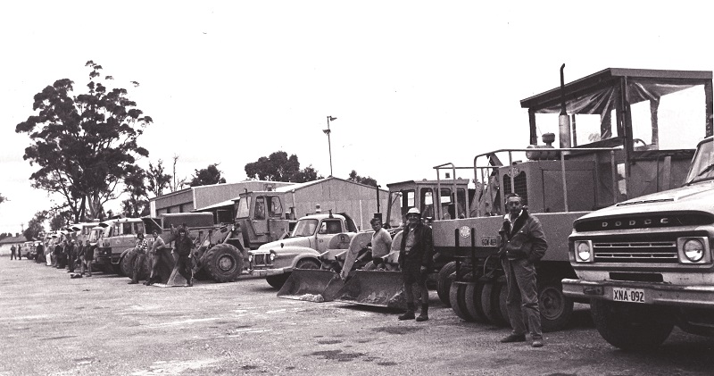
City of Gosnells depot site in Maddington, c1977
City of Gosnells Today
In 2021, the City of Gosnells is the sixth largest local government in Western Australia by population, serving a community of approximately 133,000 people. In 2009, the ward system for electing Councillors was abolished. Now every elector in Gosnells has the opportunity to vote for all candidates for councillor positions. The City currently has 12 Councillors.
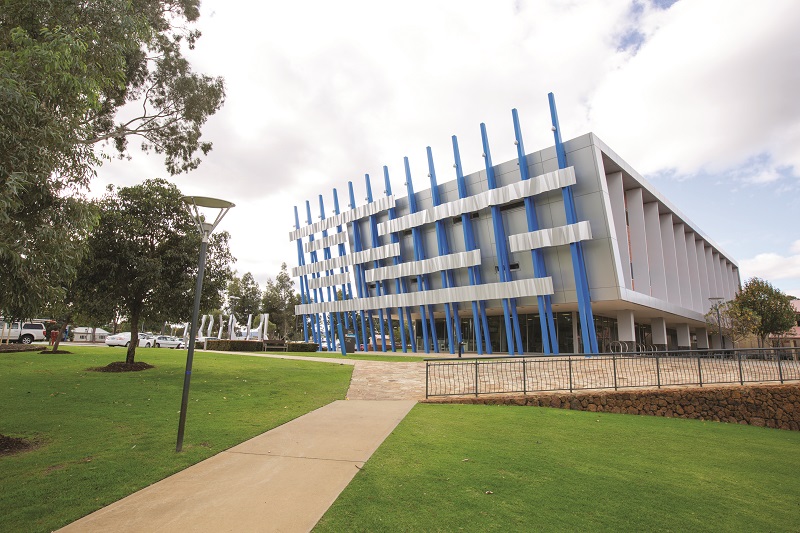
City of Gosnells Civic Centre, 2010
The Gosnells local government is no longer several small townships in the countryside along the Albany Highway. It has transformed into a multifaceted community and the City Council and staff are responsible for a great deal more than roads and drains. Today, the City of Gosnells is a uniquely attractive destination and a great place to live, work and play. It is one of the most diverse local governments in Western Australia, with over 43 per cent of residents born overseas. The City also has the second largest Indigenous population in the Perth metropolitan area, at 3.6 per cent of the population.

Celebrating diversity at the Fusion Food and Culture Festival, 2019